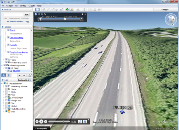
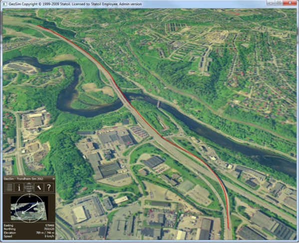
The system can play GPS video and extract the embedded tracing data, as well as visualizing this tracing data in 3D simulators as Google Earth and GeoSim.
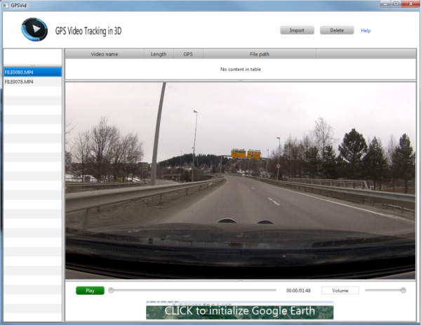
The system consisting of four main components. The components being one GPS video camera, one JavaFX application and two 3D environments. You capture video with the video camera which at the same time logs the GPS trace data. Then you import the video into the application which will extract the trace data and generate description files for the 3D simulators. Then you can play the movie in the application and at the same time get the tracing data visualized in one or both of the 3D simulators.